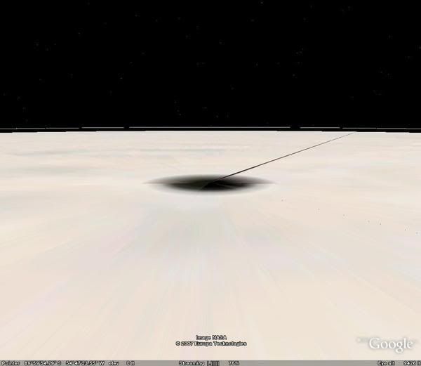
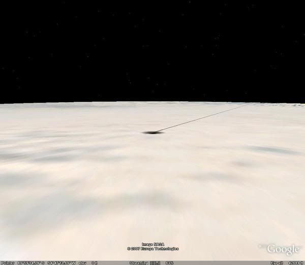
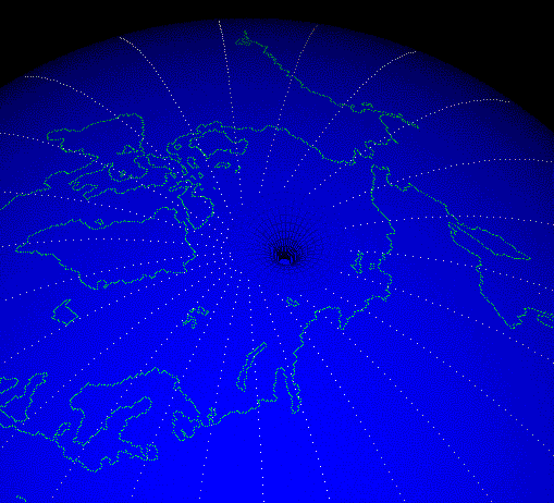
I found this using a google earth hack. It seems like some image stretching is present and im not sure what it means? Is it because satellite data isn't as clear over these areas in comparison to the rest of the world? Or is it just how the map comes together visually? Maybe some of you know the answer.
http://i157.photobucket.com/albums/t69/Doug1982LCC/l_0ebbaa5e2d56269dc2ab78e807d70af7.jpg


2007-09-14
06:53:14
·
1 answers
·
asked by
Balrog
2
in
Computers & Internet
➔ Programming & Design
im not sure why the last four didnt work, but heres the links again.
http://i157.photobucket.com/albums/t69/Doug1982LCC/l_49c637e3a984d5a52cece0742802e97d.jpg
http://i157.photobucket.com/albums/t69/Doug1982LCC/l_aed5b4cc6fdbd222d253eefe02b41f32.gif
http://i157.photobucket.com/albums/t69/Doug1982LCC/m_79064d99cfc92345022c055ea6e0b11d.jpg
2007-09-14
06:59:12 ·
update #1


